 |||
|||
08:29: Up at 07:10. I’ve finished breakfast and I’m ready to fold my map and hit the road. I expect to be on the road by 09:30, but I do have to pack some items and visit the post office. I have a 30 km day ahead of me to a wild camp site and the weather is due to be wet at some stages. I’m feeling some trepidation, but not in a stomach-churning way. A large part of me is keen to get moving again and get into the solo purity of walking in the landscape away from the noise and chaos of the city.
09:24: Leaving the hostel, heading for the post office to send excess electronics home. 7 x €33.00 for the hostel.
09:38: Electronics on the way to Ireland for €7.00. (Hard disk and USB connectors, Bluetooth mouse, Bluetooth keyboard.)
10:05: Heading east into the old city.
 10:46:13
  10:46:33
10:52: Opera. DIOR, Jimmy Choo. Rich Chinese tourists.
 10:59:32
 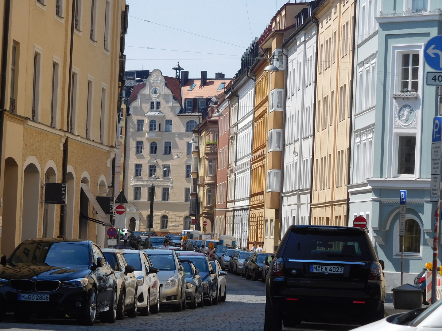 11:00:33
  11:02:07
 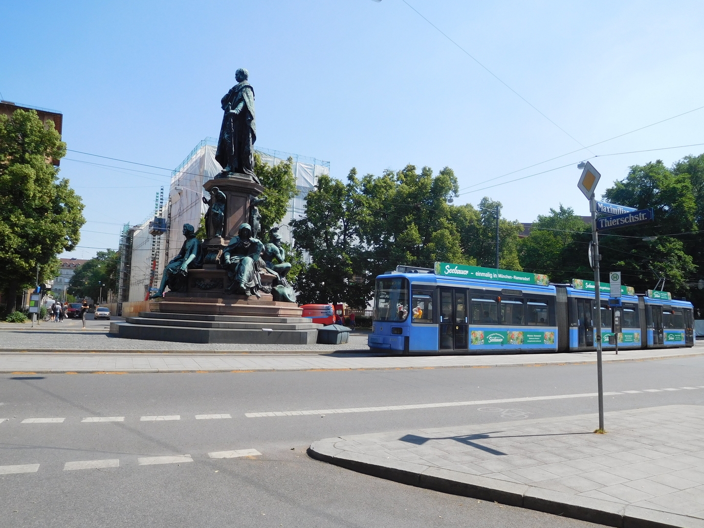 11:02:29
11:13: I’ve crossed the city centre and the Isar river that runs north-south. Now I’m in a park, looking for somewhere to have a coffee.
11:20: As soon as I’d written that, I walked into a lovely square, fringed with cafés, named Wienerplatz. I’m having an Apfelschorle.
11:40: €4.00. Map folding and now moving again.
11:55: About to cross the bundle of railway lines running north-east/south-west.
12:03: The buildings are still five or six stories high, but they’re not as tightly clustered as in the city proper.
13:03: I’m stopping for lunch. I’m having channa masala at the local cultural centre.
13:49: €10.00 for lunch, €3.00 for fizzy water.
13:52: Tree-lined residential.
14:22: Eating an apple.
14:36: Posted this morning’s map home. It’s the north west sector of München.
 14:44:34
  14:44:55
14:50: I’m out of München and into Haar. This is last contiguous conurbation of Munich city. After that there’s a short (500m) stretch of countryside before the next town, Vaterstetten.
14:57: Sign says “Zorneding 9km”.
15:16: Spotted my first field since entering München. It’s a wheat field. I’m passing it on my right.
15:25: Stopping to put on another layer of Factor 50. Now I’m out of the urban area, there’s less shade.
15:58: Crossing the moroway
15:49: “Zorneding 6km”
15:53: I spotted my first berries, bright red ones, low in the shrubbery.
16:14: Zorneding 3.7 km. I really need a rest.
16:24: Found a spot to sit down, took off my shoes and socks and massaged my feet and calves.
16:27: Moving again.
16:46: I think the church tower I see is that of Zorneding.
17:03: Zorneding town limit. I’ll need to get water and maybe bread rolls and cheese for dinner.
17:26: Getting three litres of water, bread and cheese at NORMA.
18:01: Eglharting town boundary. There’s a traffic jam on the way into the town. Rush hour.
18:25: Kirchseeon town boundary. I’m going to check out a pond on the far side of town.
19:12: Nearly out of the far side of Kirchseeon.
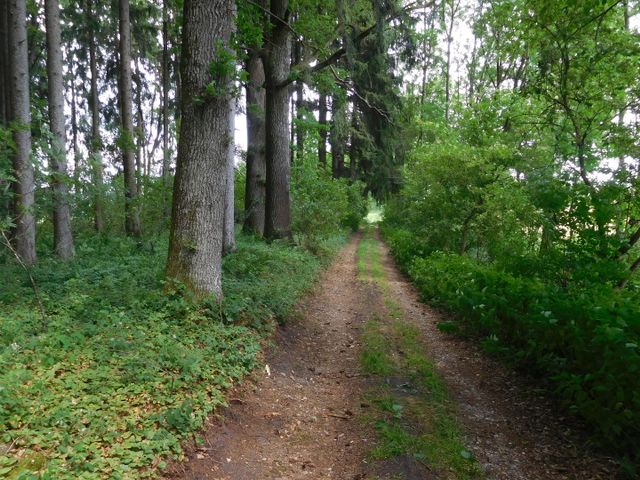
19:34: Down the gravel laneway. There seem to be a few discreet spots. Nobody’s going to come down here after dark or early in the morning. If they do, though, they’ll most likely spot me. Let’s find a spot. First wild night in Germany!
19:43: This isn’t going to work. The ground is all tussocks.
20:12: Tent up next to the woods in a short grass, unfenced field at the side of the road. There’s a couple out walking the dog who are looking at me but I don’t think they’ll intervene. Let’s see. They stared a bit, so I waved, and they waved back. Same with another couple who took their walk down the lane where the tussocks are. I greeted them when they peeked into the tent, and they greeted me back.
21:00: I’m getting into the bag. I’ve decided to move on tomorrow before breakfast and to skip dinner tonight because I don’t want to feel like I have to do a morning shit and have no privacy to do it.